


The Perfect Gift Comes from the Skies, and it's Not Delivered by Storks
The role of drones and aerial imaging in horticulture fields is poised to expand further

Once upon a time, in the fairytale landscape of the landscaping industry, a transformative winged force levitated. Let me take advantage of Xmas to tell you a tale of innovation and creativity, where humans got eyes on skies as drones took flight, not just as Santa Claus toys for enthusiasts but as the perfect companion for landscape architects, designers and everyone involved in sustainability planning.
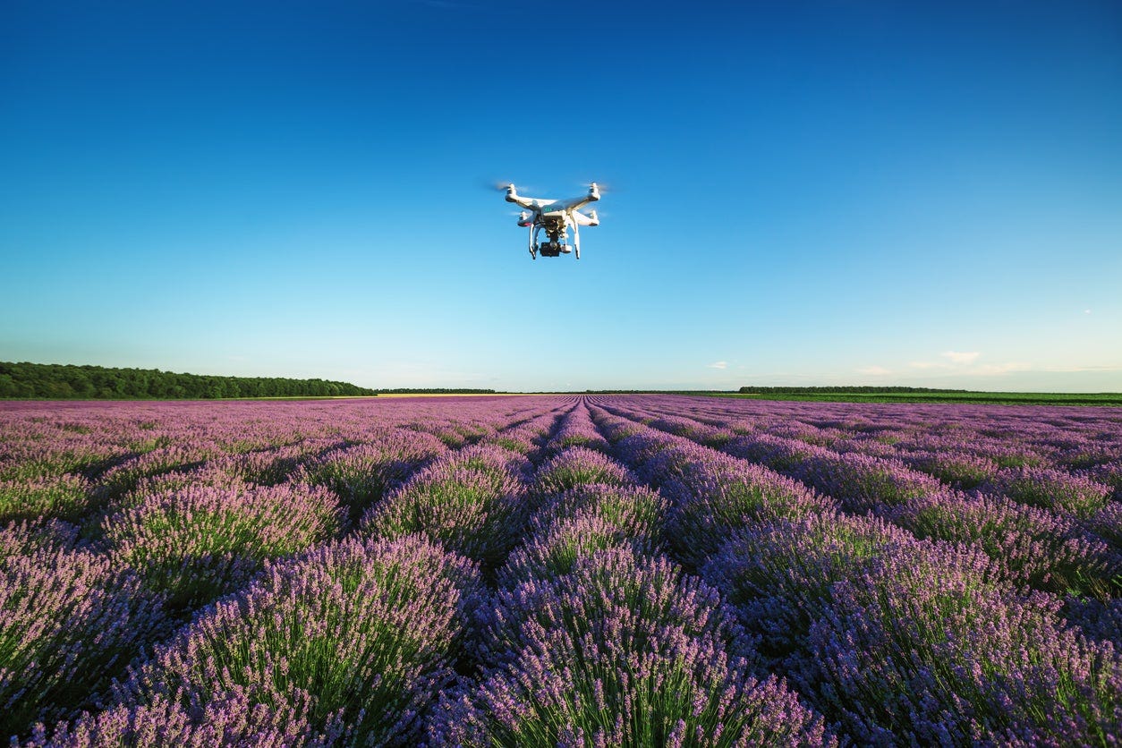
Drones, once associated merely with hobbyist, now have a special place in this marvelous professional niche of horticulture and all its related fields. These unmanned aerial crafts that even a giant like Amazon is ready to broadly use, akin to the mythical storks delivering bundles of joy, came equipped with high-resolution cameras and advanced imaging technologies, ready to bring unprecedented capabilities to the landscape professionals.
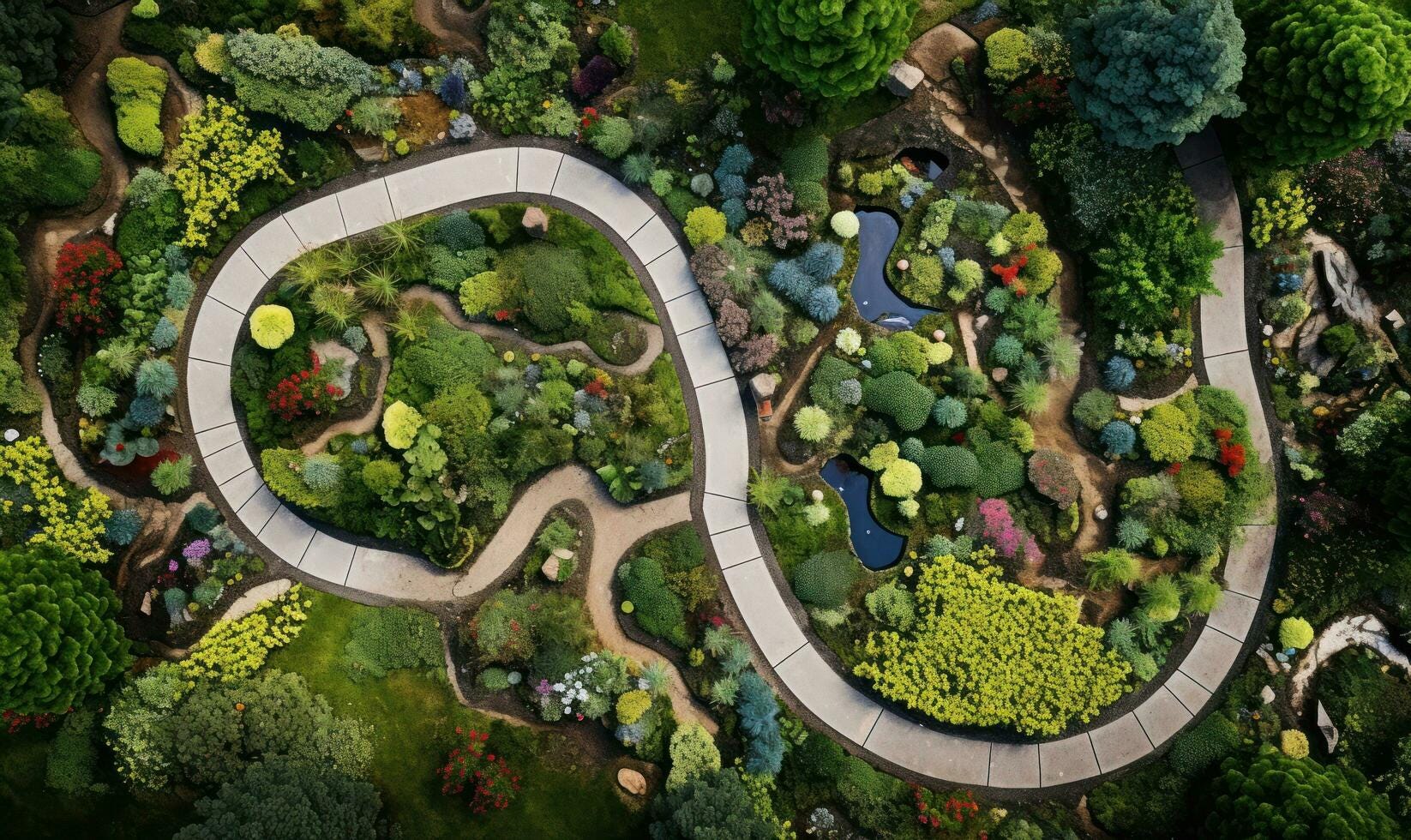
Picture this: Instead of relying on the traditional ground-level assessments, now we had a chance to obtain a bird's-eye view of the terrain at ridiculous costs. The aerial perspective became a magic wand, facilitating a more accurate analysis of the site's topography, vegetation distribution, and potential challenges. It is as if the landscape professionals had been bestowed with the gift of sight from the skies.
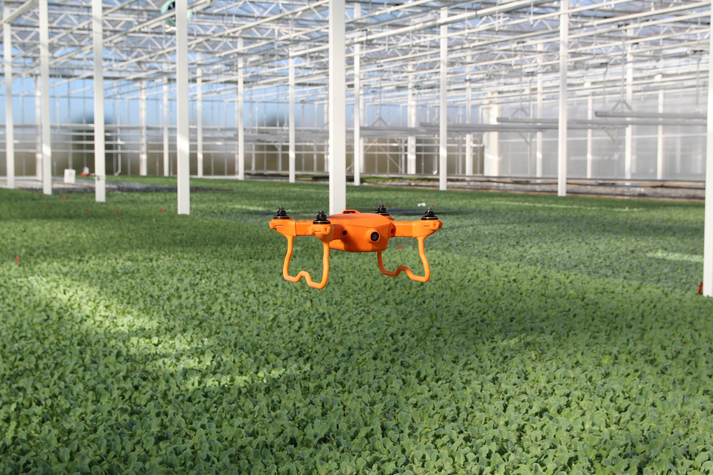
These machines, armed with GPS and mapping technologies, provide precise measurements of our private or public kingdoms. Their accuracy, a rare gem in the world of landscaping, is invaluable during the planning and design phases, allowing professionals to create detailed maps and blueprints. The design process became a game of precision, akin to a stork carefully delivering its precious visual cargo.
Traditionally laborious site inspections underwent a magical transformation. Drones, like graceful birds, swiftly navigate the landscape, capturing high-resolution images and videos. The landscape professionals, with the aid of their air-steel companions, could allocate resources more efficiently, and provide unlimited new creative perspectives and visual transitions to build dreamy gardens designed within the clouds.
As these nevermore sci-fi ideas soared to new heights, the marriage of drones with advanced imaging technologies became the heart of hundreds of narrative, from cinema to individual property owners. It is a visual epiphany, a canvas that extends beyond the limitations of ground-level unwinged perspectives.
Aerial imaging isn't just about static images; it is a dynamic documentation tool throughout a project's lifecycle. Designers, much like storytellers, captured progressive images, creating a visual timeline of the project's development. This not only contributed to effective project management but also served as a valuable portfolio for future endeavors. Keep this idea on mind: the landscape story is no longer confined to the ground; it is orchestrated and played in the skies.
Yet, every dream has its nightmares and villainous. The integration of drones and aerial imaging brought forth a myriad of benefits but not without its hurdles. Regulatory compliance, a critical consideration, was akin to navigating the evolving legal landscape governing drone usage. Ethical considerations, mirroring the privacy concerns of our traditional strategies, demanded attention. Design professionals, like conscientious storytellers, prioritized transparency and communication, addressing any concerns raised by stakeholders.
However, this destino already took flight. The role of drones and aerial imaging in landscaping is poised to expand further. Automated drones for large-scale projects and the integration of artificial intelligence for data analysis paint an horizon full of possibilities.
Last but not least, let’s think further about climate and communities. In urban settings and constructed infrastructures like buildings and sidewalks often develop areas of intense heat, with temperatures rising up to 20 degrees higher than their rural counterparts outside our cities boundaries. These urban heat islands present challenges in energy consumption, compelling buildings to exert more effort and energy for cooling. Additionally, they are linked to health concerns such as asthma.
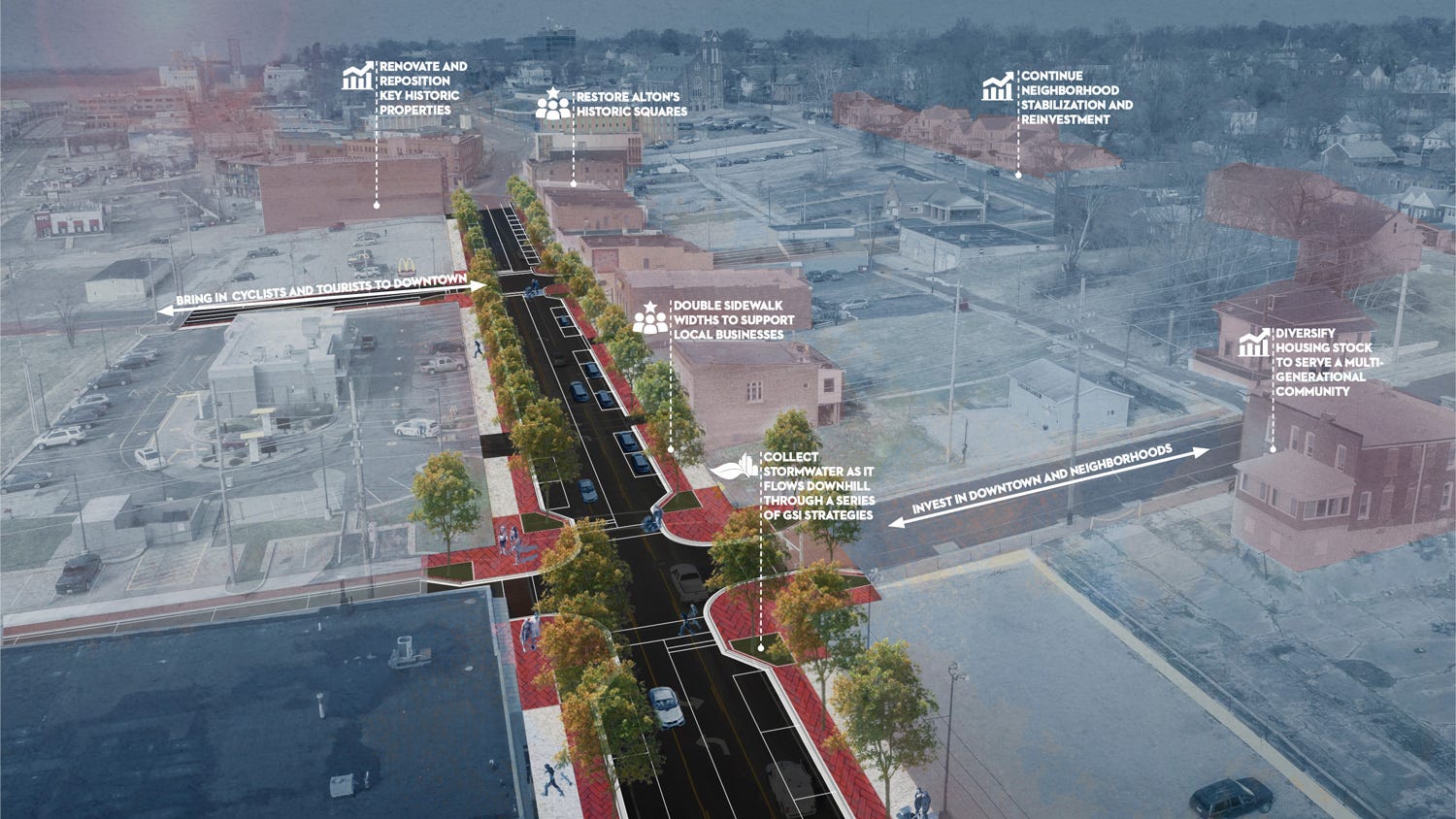
A pioneering project that would employ drones would unveil innovative methods to counteract the harmful impacts of urban heat islands across diverse landscapes and designs within any city.
All this technological progress empowers professionals to gather significant data, providing invaluable insights into incorporating high-performance designs with a sustainability focus. Through this technology, experts can explore effective strategies to create beautiful designs but also to alleviate urban heat islands and other nonsense inappropriate remarks, leading the way for more energy-efficient buildings and healthier urban environments.
The synergy between drones and aerial imaging, ground and skies, had bestowed the landscape design industry with a perfect purchase any time of the year. By using without prejudices these technologies, professionals could streamline their processes and unlock an incredible palette of creative possibilities, ensuring that the landscapes of tomorrow were crafted with precision, efficiency, and a visionary perspective. Because we really need it like that to face the climate crisis. Fortunately, the skies are no longer a limit; they are the canvas for our ecological masterpiece, a gift not brought by a stork but by the graceful flight of a drone.
See you next time,
Eduardo